


Coastal Area, Plains and Ravines, and Urban Centers
The formal organizations and human groups we engage with are distributed across three geographical zones:
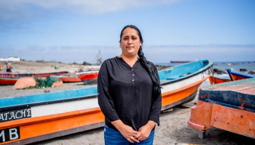
Coastal Area
This region consists of four fishing communities (Caramucho, Chanavayita, Cáñamo, and Chanavaya) located within the operational radius of Puerto Patache, south of Iquique. Approximately 1,600 people live there, with strong participation in social organizations and unions. Their main activities include fishing, services, and emerging tourism.
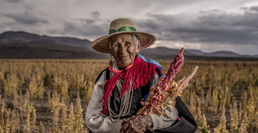
Plains and Ravines
This area encompasses the immediate surroundings of the operation and the ravines west of the Rosario pit, where communities such as Huatacondo, Coposa, Copaquire, and Salar del Huasco are located. There are 14 indigenous communities recognized by the state in this area, which include around 250 families, some with permanent presence and others with sporadic use of the territory. Their primary economic activities are livestock farming, agriculture, and the collection of medicinal herbs.
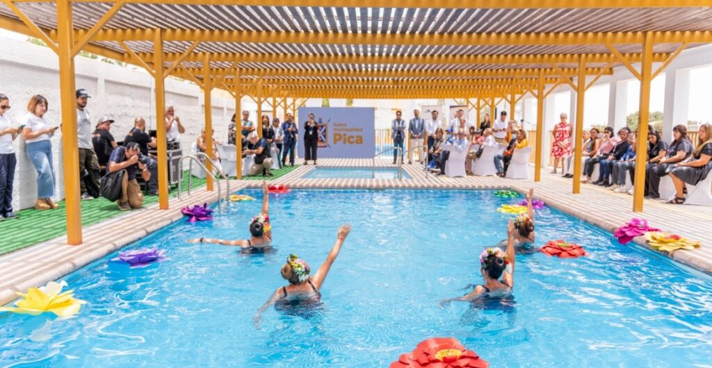
Urban Centers
In addition to Iquique, the regional capital, this area includes Pica, Matilla, and Pozo Almonte. The geography of the region allows for the development of activities related to tourism, agriculture, livestock farming, and small-scale mining, among others.


